Indian Summer in the UK: What It Is and When It Happens
The Met Office definition, the weather pattern behind a warm autumn spell, the records it has set, and how to spot one coming in the forecast.
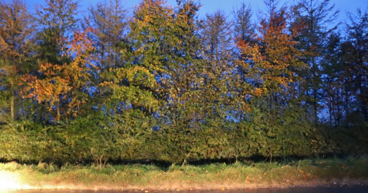
An Indian summer is a spell of warm, calm, settled weather in autumn that arrives after the season has already turned cool. The Met Office Meteorological Glossary, first published in 1916, defines it as "a warm, calm spell of weather occurring in autumn, especially in October and November", and more recent definitions add that it can only happen after the first autumn frost. It is not a formal meteorological term, so there is no official temperature to reach and no fixed date: in practice it comes from an area of high pressure settling over or near the UK.
What counts as an Indian summer?
Three things separate an Indian summer from any other warm day, and stricter definitions add a fourth:
- Timing: it falls in autumn, especially October or November.
- Warmth: it is clearly warm for the time of year.
- Calm: it is a settled spell, not one mild, windy day in a run of Atlantic weather.
The fourth is frost. The Royal Meteorological Society notes that more recent definitions only allow an Indian summer after the first autumn frost, so the warmth should not simply be a continuation of summer. Our guide to when the UK gets its first frost shows when that usually happens where you live.
The Society is blunt about how loosely the phrase gets used. Contrary to most newspaper use, it says, an Indian summer does not mean three months of summery weather in autumn.
North America, where the phrase began, has its own folk rule. The Farmers' Almanac version, quoted by the Royal Meteorological Society, requires temperatures above 70°F (21°C) for at least 7 days after the autumn equinox, and in the north-eastern US and Canada the warmth must come after the first frost. That is an American almanac rule, not a British standard.
When does an Indian summer happen in the UK?
Most often in October or November, the months the glossary singles out, but there is no reliable date and any warm, calm autumn spell can qualify. The exception is early September. Meteorologists count 1 September as the start of autumn, but the Royal Meteorological Society points out that the first weeks of September still fall inside astronomical summer, so heat then is late summer warmth rather than an Indian summer. The Met Office says there is no statistical evidence that autumn warm spells recur at any particular time each year, and that warm spells during the autumn months are not uncommon.
The old calendar names suggest otherwise. Variations of "Saint Martin's summer" were used across Europe for warm weather around St Martin's Day, 11 November, and a warm, dry late October is sometimes called St Luke's Little Summer (the Irish News used the name in October 2018), after St Luke's feast day on 18 October. Treat both as folklore rather than forecasts.
What makes a spell stand out is the gap from normal. London averages 14°C by day and 7°C at night in October on 1991-2020 figures, so a run of 20°C afternoons there is about 6°C above the norm. You can check the norm for your own city and month on pages such as London's weather in October.
What weather pattern causes an Indian summer?
The calm, settled part comes from an anticyclone. Air sinks within an area of high pressure, which limits cloud and brings drier conditions, and the Met Office notes that high pressure can still dominate during autumn, bringing dry and calm spells. On a weather chart, widely spaced isobars (lines joining places with the same pressure) around an anticyclone mean light winds.
The warm part depends on where the high sits. In the Northern Hemisphere winds blow clockwise around high pressure, so a high centred to the east of the UK puts Britain on its west side, where air is drawn up from the south. A high directly overhead mostly brings light winds, and one parked to the west or north-west feeds in cooler northerly air. Where the high settles is steered by the jet stream, whose position and strength, the Met Office says, play an important role in whether blocked patterns develop and how long they last.
Autumn high pressure also has a catch that summer high pressure does not. In autumn and winter, the Met Office explains, moisture can become trapped near the surface beneath the sinking air, and with lighter winds and less daytime heating, low cloud, mist or fog may persist. That is anticyclonic gloom. In summer the sun is strong enough to burn that cloud off; later in the year it often is not, so the same pattern can bring sunny afternoons one week and a grey, chilly day the next. Clear nights under a high also mean chilly mornings, even in a good spell.
What are the UK's autumn temperature records?
These are the highest temperatures the Met Office has on record for each autumn month in each of the four nations. The UK record for each month is in bold.
| Nation | September | October | November |
|---|---|---|---|
| England | 35.6°C, Bawtry, Hesley Hall, South Yorkshire, 2 September 1906 | 29.9°C, Gravesend, Kent, 1 October 2011 | 21.1°C, stations in Essex, Cambridge, Suffolk and London, 5 November 1938 |
| Wales | 32.3°C, Hawarden Bridge, Flintshire, 1 September 1906 | 28.2°C, Hawarden Airport, Flintshire, 1 October 2011 | 22.4°C, Trawsgoed, Ceredigion, 1 November 2015 |
| Scotland | 32.2°C, Gordon Castle, Moray, 1 September 1906 | 27.4°C, Tillypronie, Aberdeenshire, 3 October 1908 | 20.6°C, Edinburgh, 4 November 1946 |
| Northern Ireland | 28.0°C, Castlederg, County Tyrone, 8 September 2023 | 24.1°C, Strabane, County Tyrone, 10 October 1969 | 18.5°C, Murlough, County Down, first set 3 November 1979 |
The Met Office lists the 1906 September record with reservations about the value quoted.
The spell of 1 October 2011 set the English and Welsh October records on the same day. Early September 2023 was a different kind of event: for the first time the UK recorded seven consecutive days of 30°C or more in September, beating previous runs of five days in 1929 and 1911, and saw its first consecutive tropical nights in September. By the Royal Meteorological Society's reading, which rules out early September, that was late summer warmth rather than an Indian summer, but it is exactly what most "Indian summer September" searches are about.
How can you tell from the forecast if an Indian summer is coming?
- Find the high on the pressure chart. Look for an area of high pressure centred just east of the UK, with widely spaced isobars across the country.
- Check the wind direction. Light southerly or south-easterly winds point to imported warmth. Northerly or north-westerly winds under the same high mean a fine but cool spell.
- Read the Met Office long-range text. It is updated daily and says how the weather may differ from normal (warmer, colder, wetter, drier) across the whole UK.
- Look for agreement. Ensembles run the same model many times from slightly different starting conditions; the Met Office's MOGREPS system runs 18 members. When nearly all of them hold the high in place, confidence is high. When they split on how an Atlantic low breaks in, as Met Office ensemble guidance did in October 2025 with possible tracks from north-west Scotland to south-west England, the end date is uncertain.
- Compare the models. Our UK forecast page puts the Met Office, European and American models side by side and rates how closely they agree for each city. A warm spell that all three show is on firmer ground than one that only a single model shows.
Reading the long-range text for warmth: high pressure alone is not the signal, because a settled autumn spell can be cool. What matters is the temperature line: high pressure with temperatures above normal is what an Indian summer looks like at long range. Wording such as "around normal for the time of year", "frosty mornings" or "mist and fog" under the same high describes a calm but ordinary autumn spell, with the risk of gloom described above. Beyond five days the Met Office writes for the UK as a whole, because the chaotic atmosphere makes local detail less accurate, so how warm your own afternoons get only firms up at shorter range: see how far ahead you can trust a UK forecast.
Why do some forecasters avoid the phrase "Indian summer"?
The Met Office says the history of the phrase is complicated and unclear and that "like many other organisations, we choose not to use the expression". In its forecasts it talks about "summer-like weather" or "autumnal warmth" instead.
The origin is American. According to the Met Office, the first recorded use is in a letter by a Frenchman, John de Crevecoeur, dated 17 January 1778, describing Mohawk country: "Sometimes the rain is followed by an interval of calm and warm which is called the Indian summer." Several writers have speculated that it referred to warm, hazy autumn conditions that let Indigenous Americans continue hunting. The phrase was first used in the UK in the early 19th century and went on to gain widespread usage.
Many people and publications still say Indian summer, and it remains what most people type into a search engine, which is why it is in this guide's title. The weather is the same whichever name you use.
Is an Indian summer the same as a heatwave?
Not usually. The Met Office declares a UK heatwave when a location records at least three consecutive days with maximum temperatures at or above a county threshold, and those thresholds are calculated from 1991-2020 daily maximum temperatures at the midpoint of meteorological summer, 15 July. An autumn spell is measured against the same summer thresholds, so it can feel exceptional for October and still fall short. Only a spell with midsummer-level heat qualifies, as early September 2023 did. For how the summer version builds, see what causes UK heatwaves.
An Indian summer is less a season than a pattern: a high in the right place, light winds from the south, and afternoons well above the autumn norm while nights stay cold. Watch the pressure chart and the temperature wording in the long-range text, check whether the models agree, and treat any calendar date as folklore.