What causes UK heatwaves?
Blocking high pressure, hot air dragged up from Iberia and North Africa, and a jet stream that shifts north are the three ingredients behind almost every UK heatwave.
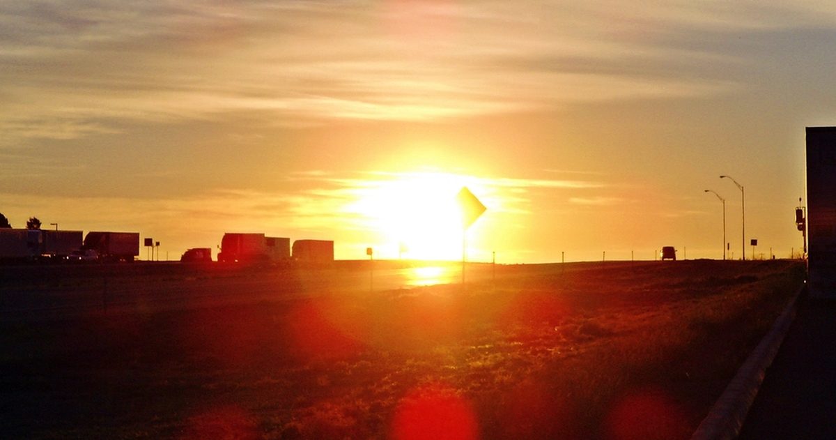
A UK heatwave forms when an area of high pressure stalls over or near the country, blocks the usual procession of Atlantic weather systems, and allows hot air to be drawn up from continental Europe or North Africa under clear, sunny skies. The Met Office defines a heatwave as at least three consecutive days on which the daily maximum temperature meets or exceeds a county-specific threshold. Get all three ingredients aligned and temperatures climb fast.
What is the official Met Office definition of a heatwave?
Since 2019 the Met Office has used a threshold-based definition rather than a single national number. A heatwave is declared when a location records at least three consecutive days with daily maximum temperatures at or above a threshold that varies by county, reflecting the fact that "hot" means something different in Cornwall than it does in the Highlands. Those thresholds range from around 25°C across much of Scotland, Wales, Northern Ireland and northern England up to 28°C in and around London and the South East. This local calibration matters: a run of 26°C days is a genuine heatwave in Aberdeenshire but an ordinary warm spell in Kent.
Why does high pressure trigger the heat?
High pressure, or an anticyclone, is the foundation of nearly every UK hot spell. Air within a high sinks slowly towards the surface, and sinking air warms and dries. That suppresses cloud formation, so you get long hours of strong summer sunshine heating the ground. Crucially, the winds around a high are light, so the hot air is not blown away and simply accumulates day after day. When a high becomes "blocked" and refuses to move for a week or more, temperatures ratchet upward with each successive day of sunshine and light winds.
Where does the hot air actually come from?
Sunshine alone rarely delivers the most extreme heat. The hottest UK spells occur when the circulation around a high-pressure system drags a plume of very warm air northward out of Iberia, France or North Africa. Forecasters often call this a "Spanish plume." As the air travels north it may already be baking after crossing sun-scorched land, and it arrives over the UK pre-heated. Layer strong local sunshine on top of that imported warmth and you reach the highest values on the thermometer.
How does the jet stream control it all?
The jet stream, a ribbon of fast high-altitude wind, is the single most important driver of UK weather. In a typical summer it sits over or just north of the UK, steering rain-bearing low-pressure systems across the country. During a heatwave the jet stream buckles and shifts well to the north, often forming a large northward loop, or ridge, over the UK. This ridge locks the blocking high in place and keeps Atlantic lows and their cooling rain and cloud away to the west or north. When the jet finally slides back south, it drags in fresher, showery Atlantic air and the heatwave breaks, sometimes with thunderstorms as the hot and cool air masses collide.
What role does dry ground play?
Heatwaves can feed themselves. When soils are already parched from a dry spring or early summer, less of the sun's energy is used to evaporate moisture and more goes directly into heating the air. This land-atmosphere feedback helps explain why heatwaves that follow a dry period tend to be more intense than those that arrive after a wet one. It is one reason forecasters watch soil moisture as well as the pressure pattern.
Are UK heatwaves getting worse?
Climate change is loading the dice. The Met Office reported that on 19 July 2022 the UK exceeded 40°C for the first time on record, with 40.3°C measured at Coningsby in Lincolnshire, comfortably beating the previous record of 38.7°C set at Cambridge in 2019. The Met Office has stated that reaching 40°C in the UK would have been extraordinarily unlikely without human-caused climate change. As background temperatures rise, the same weather patterns that once produced a pleasant warm spell now produce genuinely dangerous heat, and thresholds are crossed more often.
| Ingredient | What it does |
|---|---|
| Blocking high pressure | Sinking air clears cloud; light winds let heat build over days |
| Northward jet stream | Steers cooling Atlantic lows away; locks the block in place |
| Continental/African plume | Imports pre-heated air from Iberia and North Africa |
| Clear skies and strong sun | Long hours of surface heating in high summer |
| Dry soils | More solar energy heats the air rather than evaporating water |
How reliable are heatwave forecasts?
Because heatwaves hinge on the exact position and persistence of the jet stream and a blocking high, forecast models can diverge on how hot it gets and exactly when the heat breaks. The Met Office (UKMO), the European ECMWF and the American GFS models often agree on the broad pattern several days out but differ on peak temperatures by several degrees. This is precisely where checkweather.io is useful: by lining the models up side by side and turning their level of agreement into a plain-English confidence score, you can see whether a forecast 35°C day is a near-certainty or still an open question. During the run-up to an amber or red heat warning from the National Severe Weather Warning Service, that model spread tells you how much to trust the headline number.
Understanding the machinery, blocking high, plume, jet stream, dry ground, means you can read a hot spell as it develops rather than simply reacting to the peak. And with UK summers warming, knowing what drives the heat is becoming a year-round part of understanding British weather.
Before you rely on one app, see which UK forecast is most accurate.