When does the UK get its first frost?
The first frost sweeps south and downhill through autumn: Scottish glens and inland uplands in September, lowland England in October and November, and mild coasts and cities later.
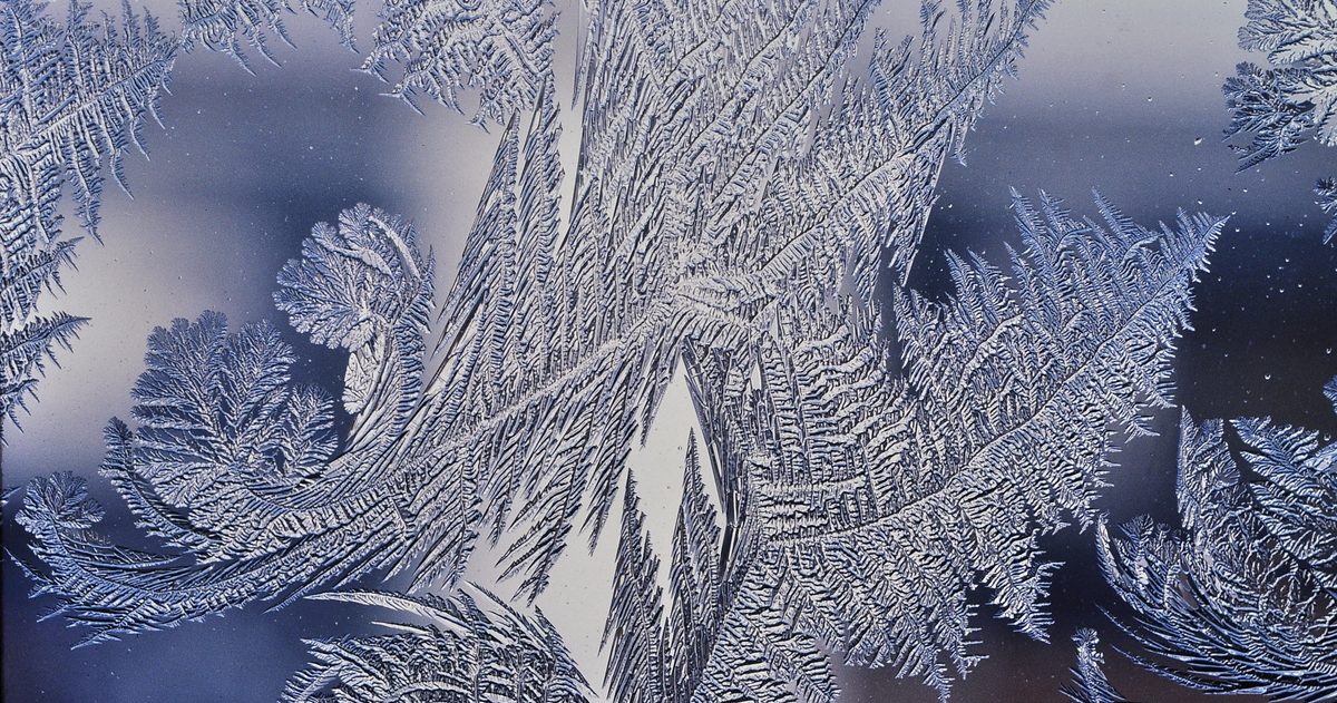
There is no single date. The UK's first frost of the season typically appears first in Scotland, inland glens and high ground, where air frosts can occur as early as September, then spreads across most of lowland England through October and November. Mild coasts and city centres often hold off until late November or December. Where and when you get frost depends on latitude, altitude, distance from the sea and the local weather on the night.
What is the difference between air frost and ground frost?
The Met Office draws a clear distinction. An air frost is recorded when the air temperature measured at the standard height of 1.25 metres falls to 0°C or below. A ground frost occurs when the temperature of the ground or surfaces on it drops to 0°C or below, which happens more readily because surfaces radiate heat away faster than the air. Because of this, you will often see a ground frost on grass and car windscreens on nights when the official air temperature stayed just above freezing. Ground frosts therefore arrive earlier in the season, and more often, than air frosts.
What weather conditions produce a frost?
Most UK frosts are "radiation frosts," which form on clear, calm nights. Three ingredients line up:
- Clear skies: with no cloud blanket, the ground radiates its heat freely to space and cools rapidly after dark.
- Light winds: calm air lets the coldest air settle at the surface instead of being mixed away.
- Dry air: low humidity allows temperatures to fall faster, as there is little moisture to release warmth as it condenses.
These conditions are classic signs of high pressure, so settled, still autumn nights under an anticyclone are prime frost weather. Cloud and wind, by contrast, keep the surface warmer and hold frost off.
Why does the first frost arrive at different times across the UK?
Several geographical factors shift the timing:
- Latitude: northern Scotland cools sooner in autumn than southern England.
- Altitude: temperature falls with height, so upland areas and mountains frost earliest.
- Distance from the sea: the sea holds warmth into autumn, so coasts stay milder for longer while inland areas cool faster once the sun's heat fades.
- Topography and frost hollows: cold air is dense and drains downhill on calm nights, pooling in valleys and hollows. These frost hollows can be several degrees colder than nearby slopes and frost far earlier.
- Urban heat island: cities store daytime heat in buildings and roads and release it overnight, so town centres frost later and less often than the surrounding countryside.
| Location type | Typical first air frost |
|---|---|
| Scottish Highlands / inland glens | September |
| Inland high ground (N England, Wales) | September - October |
| Lowland central and southern England | October - November |
| Mild coasts | November - December |
| City centres (urban heat island) | Late November - December or later |
These are typical patterns rather than fixed dates; the actual first frost in any year depends on when the first clear, calm, high-pressure night arrives.
Why does the first frost matter?
For gardeners and growers, the first air frost effectively ends the growing season, killing off tender plants and signalling time to lift or protect vulnerable crops. For drivers, the first frosts bring icy windscreens and the season's first slippery roads. For households, a frost is often the trigger for turning the heating on in earnest. The date the first frost tends to arrive locally, drawn from Met Office climate averages, is a useful planning marker whether you are protecting a vegetable patch or checking your car in the mornings.
Can you forecast the first frost accurately?
Overnight minimum temperatures are one of the harder things to forecast precisely, because a difference of a degree or two, and whether skies stay clear or cloud drifts in after midnight, decides whether you wake to a frost or not. Local factors like frost hollows add further uncertainty. This is where comparing models pays off. Checkweather.io lines up the Met Office (UKMO), ECMWF and GFS forecasts and turns their overnight-minimum agreement into a confidence score, so you can see whether a forecast frosty night is a firm consensus or a close call. When the models disagree on tonight's low by a couple of degrees, treat a "first frost" prediction as borderline and protect your plants just in case.
In short, the UK's first frost is not a date but a wave that moves south and downhill through autumn. Track it by latitude, altitude and the arrival of the first clear, still night, and you will know when your patch is due.
To see how the models actually line up, compare the UK models side by side and see which UK forecast is most accurate.