The jet stream and UK weather
One fast ribbon of high-altitude wind decides whether Britain gets Atlantic storms, a summer heatwave or a locked-in cold snap. Here is how it works.
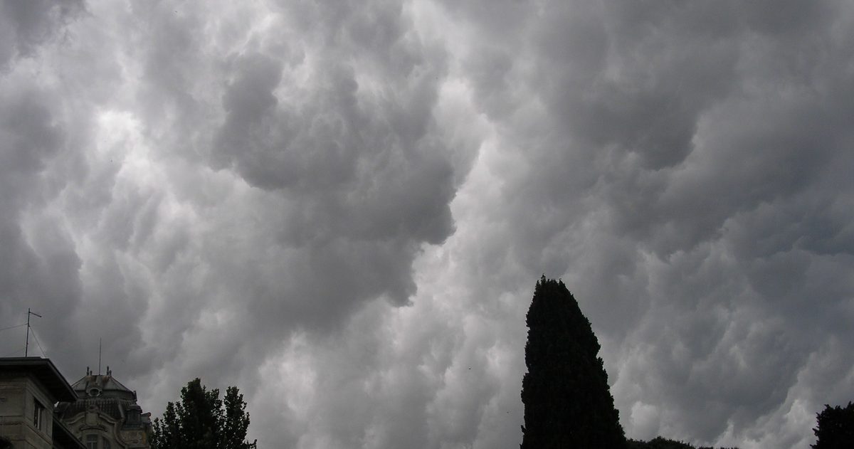
The jet stream is a narrow ribbon of very fast wind about 9 to 12 km up, blowing roughly west to east, and it is the single biggest driver of UK weather. Its position largely decides what Britain gets: when the jet sits over or just north of the UK, Atlantic low-pressure systems are steered straight at us, bringing wind and rain; when it buckles far to the north or south, the UK can be left under settled, blocked conditions - hot in summer, cold in winter.
What is the jet stream?
Jet streams are fast-flowing currents of air high in the atmosphere, near the top of the troposphere. They form along the boundaries between air masses of very different temperature - the bigger the temperature contrast, the stronger the jet. The one that matters most for the UK is the polar jet stream, which snakes around the mid-latitudes at the edge of cold polar air and warmer sub-tropical air. Its core winds can exceed 200 mph, and because the UK sits right in the mid-Atlantic firing line, we live directly under its influence.
Why does the jet stream matter so much for Britain?
The UK's position on the eastern edge of the Atlantic puts it downstream of where the jet stream organises and energises weather systems. The jet acts like a conveyor belt: areas of low pressure - depressions - form and deepen along it and are then steered eastward towards Europe. A strong, straight jet aimed at the UK delivers a procession of these depressions, which is the classic wet-and-windy British spell. The jet also helps storms intensify; when a developing low sits beneath a particularly strong section of the jet, it can deepen explosively.
How does the jet stream's position change the weather?
Where the jet lies relative to the UK is the key. A useful way to picture it:
| Jet stream position | Typical UK weather |
|---|---|
| Directly over the UK, strong and straight | Unsettled: back-to-back Atlantic depressions, wind and rain, mild |
| To the north of the UK | Warm sector air from the south-west; often milder and, in summer, warmer and more settled |
| To the south of the UK | Colder air from the north; in winter this can bring frost, snow and easterly outbreaks |
| Weak, buckled or 'blocked' | Settled, stagnant conditions - heatwaves in summer, prolonged cold or fog in winter |
Why does the jet stream meander?
The jet rarely flows in a straight line. It develops large north-south waves, known as Rossby waves, that ripple around the hemisphere. Where the jet bulges northward it forms a ridge, associated with rising pressure and settled weather; where it dips southward it forms a trough, linked to low pressure, unsettled conditions and colder air. Because the UK can flip between sitting under a ridge one week and a trough the next, our weather is famously changeable. These meanders are also why a small shift in the jet a few days out can completely change the forecast.
What is a blocking pattern?
Sometimes the jet stream's waves become so amplified that a large, slow-moving area of high pressure sets up and effectively blocks the normal west-to-east flow. Atlantic systems are then diverted around the block rather than sweeping across the UK. Blocking is behind many of Britain's most memorable extremes: prolonged summer heatwaves, when a persistent high bakes the country under clear skies, and drawn-out winter cold spells, when a block allows freezing air to pour in from the near-continent or the Arctic. Blocks can last days or even weeks, which is why settled spells - hot or cold - tend to persist once they establish.
Does the jet stream change with the seasons?
Yes. The jet is generally stronger in autumn and winter, when the temperature contrast between polar and sub-tropical air is greatest - which is a major reason the UK's stormiest months cluster in that half of the year. In summer the contrast eases and the jet weakens and tends to migrate north, which, when it holds a northerly position, allows warmer sub-tropical air and more settled weather to reach the UK. But a summer jet that dips south instead can lock in cool, wet, unsettled weather - the reason some British summers disappoint.
Why does the jet stream make forecasting hard?
Because so much depends on the jet's exact position and shape, tiny errors matter. A depression tracking 100 miles further north or south - a rounding error at the scale of the Atlantic - is the difference between a washout and a dry day for a given town. This is exactly where comparing forecast models earns its keep. At checkweather.io we run the Met Office (UKMO), ECMWF and GFS side by side; when they agree on the jet's placement, confidence is high, and when they split on where a trough will dig in, we flag that uncertainty in a plain-English confidence score rather than pretend to a precision the atmosphere does not allow. No black boxes - just the models, and the jet they are all trying to pin down, laid out next to each other.
If accuracy matters to you, see which UK forecast is most accurate.