Why is UK flooding getting worse?
Heavier rainfall in a warming climate, rising seas, and more paved-over ground are combining to push more water into rivers, drains and homes than the system was built to cope with.
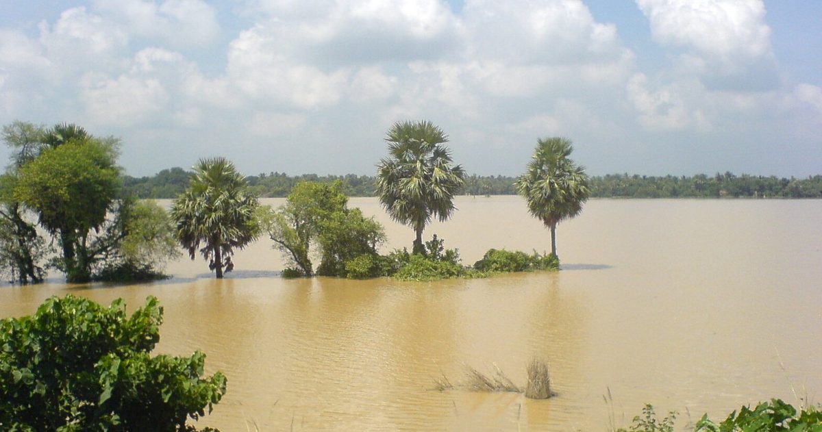
UK flooding is getting worse largely because a warmer atmosphere holds and dumps more water, so downpours are becoming more intense, while rising seas and the paving-over of natural ground leave rainfall with fewer places to go. The Environment Agency, which manages flood risk in England, warns that millions of properties are exposed to flooding from rivers, the sea and surface water, and that the risk is rising as the climate changes.
What are the four types of UK flooding?
Not all floods are the same, and the causes differ. Understanding the type is the first step to understanding the trend.
- River (fluvial) flooding happens when rivers overtop their banks after prolonged or heavy rain, common after named winter storms.
- Coastal flooding occurs when high tides, storm surges and large waves push seawater onto the land, made worse by rising sea levels.
- Surface water (pluvial) flooding happens when intense rain overwhelms drains and runs across the ground before it can soak away. It can strike far from any river and is a leading source of flood risk in England.
- Groundwater flooding occurs when underground water levels rise to the surface, typically after an exceptionally wet season, and can persist for weeks.
How does climate change make rainfall heavier?
The physics is well established. A warmer atmosphere can hold more water vapour, roughly 7% more for every 1°C of warming, a relationship known to meteorologists as the Clausius-Clapeyron scaling. More available moisture means storms have more fuel and can release heavier bursts of rain. The Met Office's State of the UK Climate reporting shows a trend towards wetter conditions and a greater share of rain arriving in intense episodes rather than gentle, absorbable falls. Heavier bursts are exactly what overwhelm drains and trigger surface-water flooding.
Are storms and atmospheric rivers playing a bigger role?
The UK's stormiest, wettest events increasingly arrive as a run of named storms in quick succession. The Met Office and Met Éireann name storms expected to cause disruption, and recent winters have seen busy naming seasons. Many of the biggest rainfall totals are linked to atmospheric rivers, long, narrow corridors of moisture-laden air streaming in from the Atlantic. When one of these stalls over already-saturated ground, rivers rise fast. Successive storms hitting the same catchments, such as during the wet 2023-24 winter, leave no time for soils and rivers to recover between events.
Why does saturated ground matter so much?
Flood risk is not just about how much rain falls on one day, but on the state of the ground before it arrives. After a wet autumn, soils become saturated and rivers run high, so additional rain runs straight off into watercourses instead of soaking in. This is why a moderate storm in November can pass with little impact while an identical storm in January causes serious flooding, the antecedent conditions are completely different. As winters trend wetter, the ground spends more of the season primed to flood.
How does building and paving over land increase risk?
Human changes to the landscape amplify the weather. Replacing fields, verges and soil with roads, roofs and car parks creates impermeable surfaces that rain cannot penetrate. Instead of soaking away, water sheets rapidly into drainage systems that were often designed decades ago for a gentler rainfall regime. Building on floodplains puts more property directly in harm's way, and in some catchments the loss of natural features such as woodland and wetlands removes the landscape's own ability to slow and store water. Ageing drainage infrastructure then struggles to cope with the modern combination of intense rain and hard surfaces.
Is sea-level rise adding to the problem?
Yes, particularly for coastal and estuary communities. The Met Office reports that sea levels around the UK have risen over the past century and continue to climb as the ocean warms and land ice melts. A higher baseline sea level means storm surges start from further up the beach, so the same storm pushes water further inland than it would have decades ago. Over time this raises the frequency of coastal flooding even without any change in storminess.
| Driver | Effect on flood risk |
|---|---|
| Warmer atmosphere | Holds ~7% more moisture per 1°C; heavier downpours |
| Rising sea levels | Higher surge baseline; more frequent coastal flooding |
| Impermeable surfaces | Rain runs off fast instead of soaking away |
| Saturated ground | Wetter winters leave soils primed to flood |
| Back-to-back storms | No recovery time between events |
Can flooding be forecast reliably?
Flood forecasting has improved markedly. The Environment Agency and Met Office run the joint Flood Forecasting Centre, and warnings are issued through the National Severe Weather Warning Service using yellow, amber and red bands. The challenge is that surface-water flooding depends on exactly where the heaviest rain falls, which can vary over a few kilometres and differ between forecast models. Checkweather.io helps here by comparing the Met Office (UKMO), ECMWF and GFS models side by side and expressing their agreement as a confidence score, so you can judge whether a heavy-rain forecast for your area is a robust, model-wide signal or still uncertain. When an amber or red rain warning is out, that model spread indicates how confident to be about the worst-case totals.
The underlying message is consistent across the Environment Agency and Met Office: the weather is delivering more intense rain onto a landscape that drains it less well, against a rising sea. That combination, not any single cause, is why UK flooding is getting worse.
Before you rely on one app, see which UK forecast is most accurate.