Met Office weather warnings explained: yellow, amber and red
The colours are not about how bad the weather is on its own - they are about impact and likelihood combined. Here is how to read them properly.
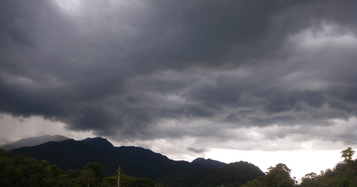
Met Office warnings come in three colours - yellow, amber and red - issued through the National Severe Weather Warning Service (NSWWS). The colour is not a simple measure of how extreme the weather is. It reflects two things multiplied together: the likelihood of severe weather happening and the impact it would have on people and infrastructure. Yellow means be aware, amber means be prepared, red means take action.
What is the National Severe Weather Warning Service?
The NSWWS is the Met Office's official warning system for the UK, run in its role as the national meteorological authority. It covers a defined set of hazards - rain, thunderstorms, wind, snow, ice, fog, extreme heat and lightning - and its job is to give people, emergency responders and government enough notice to prepare. Warnings can be issued up to seven days ahead, though they are updated as confidence changes and the picture sharpens.
Crucially, warnings are about impact, not just weather values. A given amount of rain might warrant a warning in one region and not another, depending on how vulnerable that area is - recently saturated ground, a market town in a flood-prone valley, or a stretch of exposed motorway all change the calculation.
How the warning colour is decided
The Met Office uses an impact-versus-likelihood matrix. Forecasters assess how severe the impacts could be (from minimal, through low and medium, to high) and how likely those impacts are (from very low to very high). Plotting the two together on the grid produces the colour:
| Colour | What it signals | What it means for you |
|---|---|---|
| Yellow | Severe weather is possible; impacts likely to be limited, or a small chance of more significant impacts | Be aware. Check the forecast, plan ahead, expect some disruption to travel |
| Amber | Increased likelihood of severe weather with the potential to disrupt travel, power and daily life | Be prepared. There is a good chance of significant impacts; change plans and protect property |
| Red | Dangerous weather is expected; substantial risk to life and widespread disruption very likely | Take action. Avoid travel, follow official advice, expect major impacts |
This is why you can occasionally see a yellow warning for genuinely nasty weather (high impact but low likelihood in that spot) and an amber warning for a system that looks less dramatic on paper but is very likely to cause real disruption. The colour encodes probability as much as severity.
What does a yellow warning mean?
Yellow is the most common warning by a wide margin. It tells you severe or hazardous weather is possible and could affect you. Impacts are usually at the lower end - surface water on roads, slower journeys, the odd delayed train - but yellow also covers situations where severe impacts are possible for a minority of people. The message is simple: stay aware, check updates, and give yourself extra time. Yellow does not mean "ignore it"; it means the outcome is uncertain or localised.
What does an amber warning mean?
Amber is a clear step up. There is an increased likelihood of severe weather that could pose a risk to life and property. You should be prepared to change your plans - delay a journey, secure loose items outside, charge devices in case of power cuts, and check on vulnerable neighbours. Amber warnings often trigger visible action from Network Rail, the National Highways network and local resilience forums. When an amber warning lands over your area, treat it as a prompt to actively prepare rather than simply note it.
What does a red warning mean?
Red is rare and serious. It means dangerous weather is expected, there is a substantial risk to life, and widespread damage, travel and power disruption are very likely. The advice is unambiguous: take action now, avoid travelling, stay indoors where possible and follow the instructions of emergency services and local authorities. Red warnings are issued when forecasters have high confidence in high-impact weather - for example the strongest named storms or exceptional heat. If you see red for your area, you should already be adjusting your day around it.
Which hazards do warnings cover?
The NSWWS issues warnings for eight weather types: rain, thunderstorms, wind, snow, lightning, ice, extreme heat and fog. Each has its own impact thresholds - the wind speeds that justify an amber warning on an exposed coast differ from what matters for an inland city, and heat warnings consider overnight temperatures and health impacts, not just the daytime peak. Warnings are drawn as coloured regions on the Met Office map and come with a plain-English description of the likely impacts and timing.
How to receive and read warnings
Warnings are published free on the Met Office website and app, and are widely syndicated by broadcasters. Each warning states the hazard, the colour, the valid time window, the affected area and a description of what to expect. Read the impact text, not just the colour - it tells you whether the concern is flooding, power cuts, travel or danger to life. For flooding specifically, pair the Met Office warning with the Environment Agency's flood warnings, which cover rivers, coasts and surface water in England (with equivalent services in the devolved nations).
Where confidence comparison fits in
A warning is a forecaster's judgement, and judgement is easier when the forecast models agree. At checkweather.io we line up the Met Office (UKMO), the European ECMWF and the American GFS side by side and turn their level of agreement into a plain-English confidence score. When those models converge on a stormy solution, an approaching amber or red warning is likely to hold; when they diverge, the situation is more fluid and worth re-checking. It is a useful companion to the official warning - no black boxes, just the models laid out next to each other so you can see how settled the forecast really is.
To see how the models actually line up, see which UK forecast is most accurate.