Will Canada have a cold, snowy winter? How seasonal outlooks really work
An honest answer months ahead is 'here are the odds,' not 'yes.' Seasonal outlooks give probabilities - a lean toward warmer, colder or near-normal - not a day-by-day forecast. Here is how they are built and what they can and cannot tell you.
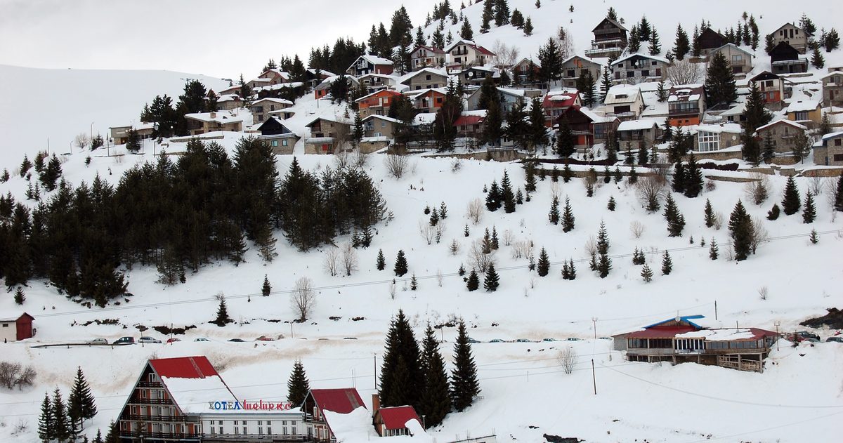
No one can honestly promise a cold, snowy Canadian winter months in advance. Seasonal outlooks - like those from Environment and Climate Change Canada (ECCC) - are probabilistic: they tell you whether the coming three months lean above, below or near normal for temperature and precipitation, and by how much. They do not, and cannot, tell you the snowfall on a given weekend. Understanding that difference is the whole game.
What is a seasonal outlook, exactly?
A seasonal outlook is a forecast for an average - usually a three-month block such as December-January-February - expressed as odds. ECCC's maps shade regions by the probability that temperature or precipitation will fall into the "above normal," "near normal" or "below normal" third of the historical record. So an outlook might say southern Ontario has a 60% chance of a warmer-than-normal winter. That is a lean, not a guarantee, and "warmer than normal" over three months still leaves plenty of room for a brutal cold snap in January.
Crucially, a seasonal outlook is a different animal from the seven-day forecast you check before a drive. The day-by-day forecast tracks specific weather systems; the seasonal outlook tracks the background tilt of the whole season. Different tools, different jobs.
How are seasonal outlooks made?
Forecasters lean on a mix of methods. The biggest input is the state of the oceans and atmosphere - above all the tropical Pacific, because it nudges the jet stream that steers Canadian weather. Meteorologists run ensemble climate models (many model runs with slightly different starting conditions) to see which outcomes cluster. They also weigh statistical relationships between known drivers - El Niño, La Niña and others - and past Canadian winters. The result is a probability map, not a single storyline.
What are El Nino and La Nina - and do they decide our winter?
El Niño and La Niña are the warm and cool phases of a natural see-saw in Pacific Ocean temperatures known as ENSO (El Niño-Southern Oscillation). They shift where the jet stream typically sets up, which tilts the odds for North American winters:
- El Niño often nudges much of Canada toward milder-than-average winters, particularly across the West and the North, though impacts vary.
- La Niña tends to raise the odds of colder, snowier conditions in western Canada and parts of the Prairies, with a more active northern storm track.
But ENSO only shifts probabilities - it does not lock in an outcome. Other patterns matter too, and the most important one for cold outbreaks, the Arctic Oscillation, is essentially unpredictable more than about two weeks out. That single fact is why "will it be cold and snowy" cannot be answered with certainty in October.
Why can't we forecast snow totals months ahead?
Snow is a precipitation-timing problem, and precipitation is the hardest thing to pin down at long range. A single well-timed storm - or its absence - can swing a city's seasonal snow total dramatically, and no model resolves individual storms weeks out. Seasonal outlooks are therefore usually more confident about temperature than precipitation, and ECCC often shows large "near normal / no strong signal" areas for winter precipitation. If an outlook claims a precise centimetre total for your city in February, treat it with heavy scepticism.
| Forecast type | Time range | What it tells you | Confidence |
|---|---|---|---|
| Short-range forecast | 0 to 3 days | Specific systems, timing, amounts | Highest |
| Medium-range forecast | 4 to 10 days | Pattern and likely systems | Moderate, falling with time |
| Sub-seasonal outlook | 2 to 6 weeks | Broad tilt (warm/cold spells) | Low to moderate |
| Seasonal outlook | 1 to 3 months | Odds of above/near/below normal | Probabilistic only |
What other patterns shape a Canadian winter?
ENSO gets the headlines, but it is only one lever. The Arctic Oscillation (AO) and the closely related North Atlantic Oscillation (NAO) govern how readily frigid Arctic air spills south. When the AO is strongly negative, the polar vortex weakens and cold outbreaks plunge into the Prairies, Ontario and Quebec - the classic "polar vortex" deep freeze. The catch is that these patterns flip on a two-week horizon, so they cannot be forecast for a whole season. The Pacific-North American (PNA) pattern and Pacific Ocean temperatures also nudge which coast runs mild and which runs cold. A seasonal outlook blends all of these signals, which is why it lands on odds rather than a single confident storyline.
What about the Farmers' Almanac?
Almanac winter forecasts are popular, memorable and often oddly specific - "shivery and snowy in the second week of February." They are also not built on the physics that modern meteorology uses, and their published accuracy claims are not independently verified. Enjoy them as folklore, but do not plan your winter around them. For an evidence-based lean, ECCC's seasonal outlook and reputable outlets such as The Weather Network are the sounder starting points.
So how should you read a winter outlook?
Treat it as a betting line, not a promise. "Leaning colder than normal" means the odds are tilted that way, while a strong warm signal makes a mild season more likely but never certain. Watch how the outlook is updated - a signal that strengthens across successive months is more trustworthy than a one-off. And when the real weather arrives, judge day-to-day forecasts on their own merits.
That is the checkweather.io philosophy in miniature: for the forecasts that actually affect your week, we compare ECCC's GEM against ECMWF and GFS, turn their agreement into a confidence score, and keep an accuracy scoreboard against what really happened. Long-range certainty is a myth we refuse to sell - but honest odds and honest scoring are not.
Bottom line
Will Canada have a cold, snowy winter? The truthful answer is a probability shaped by ENSO and the ocean-atmosphere state, refined by ensemble models, and open to disruption by short-fuse patterns like the Arctic Oscillation. Seasonal outlooks are genuinely useful for planning the tilt of a season - just never mistake a lean for a lock.
To judge how reliable this is, see which Canadian forecast is most accurate.