When does Canada get its first frost?
Frost arrives earliest in the North and the high Prairies - sometimes by late August - and latest along the mild south coast of British Columbia and the far south, where it can hold off until late October or beyond. Elevation, water and city warmth all shift the date.
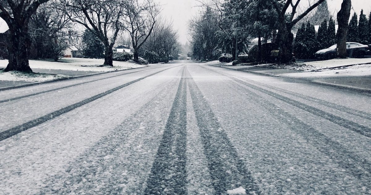
Canada's first autumn frost sweeps roughly from north to south and from high ground to low. In the territories and the northern Prairies it can appear as early as late August or early September. Across the southern Prairies, most of Ontario and Quebec it typically arrives in September or October. Along the mild south coast of British Columbia and the far south, it often holds off until late October or later. Local factors move these windows by weeks, so treat them as ranges, not dates.
What actually counts as a frost?
Frost forms when surfaces cool to the freezing point and water vapour deposits as ice. Meteorologists distinguish a few types:
- Ground/grass frost can occur even when the official air temperature (measured about 1.5 m above ground) is a few degrees above zero, because the surface radiates heat and cools faster than the air.
- Air frost means the measured air temperature itself has dropped to 0 °C or below.
- A killing frost is a hard freeze cold enough to end the growing season for tender plants.
This is why you can wake to frost on the lawn and the car roof while the thermometer reads 3 °C. ECCC issues frost advisories during the growing season when frost is expected to threaten crops and gardens.
Why does frost arrive so much earlier in some places?
Four factors dominate the timing:
- Latitude. The farther north, the shorter and cooler the season, so frost comes first in the territories and northern Prairies.
- Elevation. Higher ground is colder. Mountain valleys and the foothills of Alberta can frost well before the nearby lowlands.
- Proximity to water. Oceans and large lakes store summer heat and release it slowly, delaying frost. This is why coastal B.C. and areas near the Great Lakes stay frost-free longest.
- Local landscape. Cold air is dense and drains downhill at night, pooling in valleys and hollows - "frost pockets" - which can frost days or weeks before higher, exposed ground nearby.
Roughly when does first frost arrive by region?
The following are general seasonal tendencies, not guarantees for any single year - an early cold outbreak or a warm, cloudy spell can shift the first frost by weeks. Always check the current ECCC forecast and frost advisories for your exact location.
| Region | Typical first-frost window | Why |
|---|---|---|
| Territories & far North | Late August to September | High latitude, short season |
| Northern & central Prairies | Early to mid September | Continental climate, clear cold nights |
| Southern Prairies | Mid to late September | Slightly milder but still continental |
| Southern Ontario & Quebec | Late September to October | Great Lakes moderation; cities warmer |
| Atlantic Canada | October | Ocean influence delays cooling |
| South-coast B.C. (Vancouver, Victoria) | Late October to November+ | Mild maritime climate |
Do cities frost later than the countryside?
Usually, yes. The urban heat island keeps built-up areas warmer overnight, so downtown gardens often escape a frost that whitens rural fields just outside the city. It is common for an airport or rural station to report frost while a nearby city centre does not - a real difference worth remembering when you compare a forecast low to what your own street actually did.
How can gardeners see frost coming?
Frost is most likely on clear, calm nights after a cold, dry air mass moves in. Clouds act like a blanket, trapping heat, while wind mixes the air and prevents the coldest layer from settling at the surface - so a still, cloudless night with dew points near zero is the classic frost setup. When ECCC issues a frost advisory, cover tender plants, move containers indoors, or water the soil in the evening (moist soil releases heat overnight).
Because that first frost hinges on a single clear, calm night, the overnight low is a genuinely tricky forecast - small differences in cloud or wind swing it by several degrees. That is where comparing models pays off: checkweather.io lines up ECCC's GEM against ECMWF and GFS, so when they agree on a sub-zero night your confidence is well founded, and when they split you know to watch closely.
How does the first frost differ from a hard freeze?
Not all frosts are equal. A light frost - surface temperatures dipping just to or slightly below zero - may nip the most tender leaves while leaving hardier plants untouched. A hard (killing) freeze, generally taken as roughly −2 °C or colder for several hours, ends the season for warm-weather crops outright. The first frost of autumn is often a light one, and a warm spell can follow it, giving gardeners a reprieve of days or even weeks before the decisive killing freeze arrives. That is why seasoned growers watch the forecast closely after the first frost rather than assuming the season is finished - and why the difference between −1 °C and −3 °C on the overnight forecast genuinely matters.
When is the growing season officially over?
The growing season is generally bookended by the last spring frost and the first fall frost. That frost-free period ranges from only a couple of months in the far North to well over 200 days on the south coast of B.C. Gardeners often track it closely, because a hard "killing frost" ends the run for tomatoes, squash and other tender crops in one cold night.
Bottom line
There is no single national first-frost date. It advances from north to south and from high ground to low across late summer and autumn, tuned locally by elevation, water and city warmth. Watch ECCC frost advisories, mind clear and calm nights, and lean on model agreement for that all-important overnight low.
If accuracy matters to you, see which Canadian forecast is most accurate.