What Weather Model Does the US Use? The GFS, Explained
America's flagship forecast model is the GFS, a free global model run four times a day by NOAA.
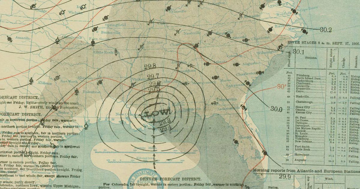
The primary weather model used by the United States is the Global Forecast System, or GFS, run by NOAA through the National Weather Service and its National Centers for Environmental Prediction. It is a global numerical model that forecasts the entire atmosphere out to 16 days, updates four times a day, and is published free for anyone to use. It is the American counterpart to Europe's ECMWF.
What is the GFS?
The GFS is a global numerical weather prediction model: it divides the whole planet's atmosphere into a grid, feeds in the latest observations, and solves the physics equations that govern how air, moisture, and heat move. The output is the forecast you see rippling through nearly every US weather app and TV broadcast, either directly or blended with other data.
In June 2019, NOAA rebuilt the GFS around a new engine called the FV3 (Finite-Volume Cubed-Sphere) dynamical core, a significant modernization of the model. Today it runs at roughly 13-kilometer horizontal resolution with 64 vertical levels reaching high into the atmosphere.
Who runs the GFS?
The GFS is developed and operated by NOAA, the National Oceanic and Atmospheric Administration, specifically by the Environmental Modeling Center within NCEP, the part of the National Weather Service responsible for the nation's operational models. Because it is a public agency, GFS output is openly available, which is a big reason the model appears in so many apps, including Windy.
How often does the GFS run, and how far out?
The GFS runs four times a day, initialized at 00, 06, 12, and 18 UTC, and each run forecasts out to 16 days. That frequency is one of its practical advantages over the ECMWF, which runs twice a day: US forecasters get a fresh global picture every six hours.
| Attribute | GFS (United States) |
|---|---|
| Full name | Global Forecast System |
| Operated by | NOAA / NWS / NCEP |
| Model core | FV3 (since June 2019) |
| Resolution | ~13 km horizontal, 64 vertical levels |
| Runs per day | 4 (00, 06, 12, 18 UTC) |
| Forecast range | Out to 16 days |
| Cost | Free and openly published |
What about the GFS ensemble?
Running the model once gives a single answer, but the atmosphere is chaotic, so NOAA also runs the GEFS, the Global Ensemble Forecast System. Implemented in its version 12 in September 2020, the GEFS runs 31 members, each starting from slightly different initial conditions, at about 25-kilometer resolution. When the members agree, confidence is high; when they scatter, the forecast is uncertain. Ensembles are how modern forecasting measures its own uncertainty instead of pretending it does not exist.
How does the GFS compare to other models?
The GFS does not operate in a vacuum. Forecasters routinely compare it against the European ECMWF, the German ICON, the Canadian GDPS, and the UK Met Office model, among others; our US pages show it next to the European model and the National Blend of Models. Each has strengths, and no single one wins every time. The GFS's calling cards are its update frequency and its openness: because it runs four times a day and is fully public, it is the workhorse behind a huge share of US weather products and apps. The ECMWF, by contrast, is often the medium-range accuracy leader but updates only twice a day and has historically kept its highest-resolution products behind a subscription.
The practical takeaway is that the GFS is best understood as one strong voice in a chorus, not the final word. When it agrees with the ECMWF and ICON, a US forecast is on solid ground. When they split, that is a signal to expect changes.
Why does the US keep investing in the GFS?
Some ask why the US runs its own global model at all when the ECMWF exists. The answer is sovereignty and mission: the National Weather Service is responsible for protecting American lives and property, and it cannot outsource its core forecasting engine to another nation's agency. A domestic model also means US scientists can tailor and improve it, feed it US observations, and run it as often as national needs require. The 2019 FV3 rebuild was a direct, public commitment to keeping the American model competitive with the world's best.
Is the GFS the best model?
Not always, and NOAA does not claim it is. In head-to-head verification of medium-range forecasts, the ECMWF has generally scored higher, and the 2012 forecasts for Hurricane Sandy are the famous example, when the European model locked onto Sandy's turn into the Northeast days before the GFS did. That result helped drive the US investment in the FV3 rebuild. The honest summary is that the GFS is a strong, frequently updated, freely available global model that is sometimes beaten by the Euro, especially in the medium range.
This is why comparing models beats trusting any single one. A tool like checkweather.io places the GFS next to ECMWF and grades them against what actually happened, so you can see where the American model shines and where it lags rather than assuming it is always right or always wrong.
How the GFS reaches your forecast
You rarely read the raw GFS. Instead, National Weather Service meteorologists and private apps use it as one input, combine it with other models and local knowledge, and issue the watches, warnings, and daily forecasts you actually see. The GFS is the engine; the forecast on your phone is the finished product built partly on top of it.
Understanding that pipeline changes how you read a forecast. When your app is confident, it usually means the GFS and the other models it consumes are in close agreement. When the models diverge, even the best app has to make a call, and that is when forecasts from different sources start to look different for the same day. Knowing that the GFS sits underneath so much of what you see, and that it is a strong but imperfect model, is the first step to reading US weather like a professional rather than taking a single icon at face value.
To judge how reliable this is, see which US forecast is most accurate.