What causes New Zealand heatwaves?
Blocking highs, subtropical air and the foehn effect over the Southern Alps combine to push the mercury up - and marine heatwaves keep the heat in place.
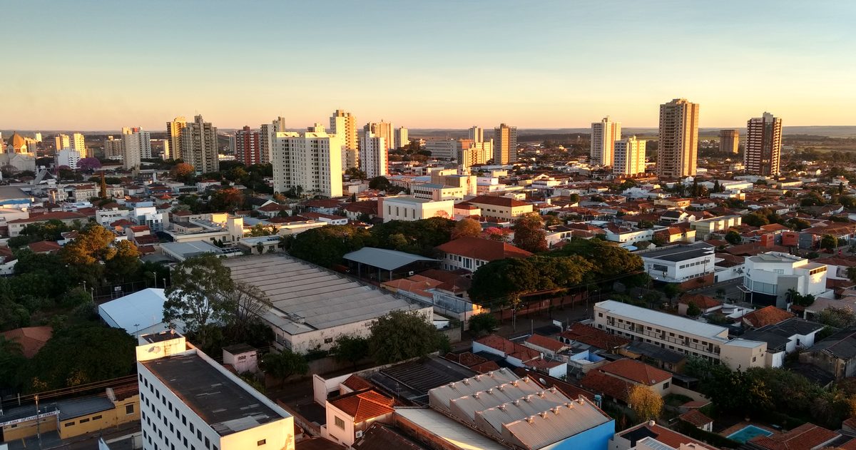
New Zealand heatwaves are driven by a slow-moving anticyclone - a large, blocking high-pressure system - that parks over or east of the country, drags warm subtropical air down from the north and clears the skies for days on end. Over the eastern South Island the nor'wester foehn wind adds a further push, warming as it descends the lee of the Southern Alps. Persistent marine heatwaves in the surrounding seas then stop nights from cooling.
What actually defines a heatwave in New Zealand?
Unlike some countries, New Zealand has no single legally-fixed heatwave threshold. Because the climate is maritime and comparatively mild, forecasters and NIWA usually describe a heatwave as an extended run of unusually hot days relative to what is normal for that place and time of year, rather than a fixed number such as 30 degrees. A three-day spell in the low 30s is a genuine heat event for a temperate island nation, and MetService will flag the health risk even where no formal "warning" product exists for heat.
That relative framing matters. A 28-degree day is unremarkable in Hawke's Bay in February but exceptional in coastal Otago or on the West Coast. NIWA's long climate records are the reference point for judging whether a warm spell is genuinely anomalous.
Why do anticyclones cause the heat?
The engine of almost every New Zealand heatwave is a high-pressure system. Under a high, air sinks. Sinking air suppresses cloud, so more sunshine reaches the ground and warms it through the day. Highs also tend to be slow-moving, so the same air mass sits over the country for several days and heats up progressively. When the high is positioned so that its circulation draws air down from the subtropics - the Coral Sea and the seas north of New Zealand - that incoming air is already warm and humid before the sun even touches it.
This is why the most intense heat often arrives ahead of a slow-moving high to the east of the country, with a warm north to north-westerly flow feeding in over the North Island and the eastern South Island.
What is the nor'wester and the foehn effect?
The eastern South Island - Canterbury and inland Otago in particular - owes many of its hottest days to the foehn effect, known locally as the nor'wester. As moist air from the Tasman Sea is forced up and over the Southern Alps, it cools and drops most of its moisture as rain on the West Coast. Having lost that moisture, the air warms rapidly as it descends the eastern side of the ranges, arriving hot, dry and often gusty over the Canterbury Plains.
The result is that Christchurch, Rangiora, Timaru and the wider Canterbury region can record some of the country's highest temperatures during a strong nor'west flow - the same weather pattern that dumps heavy rain on the other side of the divide.
How hot does it actually get?
New Zealand's official record high, according to NIWA, is 42.4 degrees, recorded at Rangiora, Marlborough and Christchurch back in February 1973 during a classic nor'west event. Days above 35 degrees remain uncommon and newsworthy in most regions. The point is not that New Zealand rivals Australia for raw heat - it does not - but that its temperate population and infrastructure are built for mild conditions, so even low-to-mid 30s heat carries real health and fire-risk consequences.
What role do marine heatwaves play?
A marine heatwave is a prolonged period of unusually warm sea-surface temperatures. NIWA monitors these around New Zealand, and they have become more frequent and intense in recent years. Warm surrounding seas matter for two reasons: they keep overnight minimum temperatures elevated, so people and animals get little relief after dark, and they load the lower atmosphere with moisture and warmth that reinforces a hot spell. A heatwave sitting over already-warm coastal waters is far harder to break than one over cool seas.
Does La Nina or El Nino make heatwaves more likely?
Yes, the background climate state tilts the odds. In broad terms, La Nina summers tend to bring more north-easterly and northerly flows and warmer-than-average conditions to much of New Zealand, raising the chance of heat, while El Nino favours more westerlies. NIWA's seasonal climate outlooks translate these drivers into regional probabilities. They shift the odds rather than guaranteeing any single event - the day-to-day heat still depends on where the next high sets up.
How reliable is a heatwave forecast?
Heatwaves are among the more predictable severe-weather events because they are tied to large, slow blocking highs that the global models handle well several days out. Even so, the exact peak temperature depends on subtle details - cloud, sea-breeze timing, the strength of the foehn - where models can disagree by a few degrees.
That disagreement is exactly what checkweather.io surfaces for New Zealand. Rather than trusting one forecast, the site lines up the three global heavyweight models - ECMWF (European), NOAA's GFS (American) and DWD's ICON (German) - side by side and turns their level of agreement into a plain-English forecast-confidence score, while linking through to MetService for official warnings. When all three models push the same hot signal, confidence is high; when they diverge on the timing of a cooling southerly, the score tells you to treat the peak with caution. An accuracy scoreboard then grades how each model actually performed against recorded temperatures.
The bottom line
A New Zealand heatwave is the product of a blocking high, warm subtropical air, the foehn-warmed nor'wester over the eastern South Island, and warm surrounding seas that refuse to let the nights cool. None of these is exotic - but when they line up, a temperate country built for mild weather feels the heat.
Rather than trust a single forecast, see which Canadian forecast is most accurate.