New Zealand severe weather and flooding
From ex-tropical cyclones to atmospheric rivers pinned against the Southern Alps, here is what drives New Zealand's worst flooding - and how MetService warns for it.
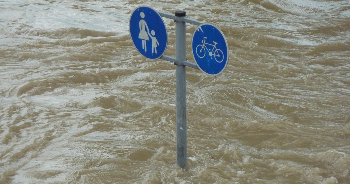
New Zealand's most damaging floods come from three main sources: ex-tropical cyclones tracking south from the Coral Sea in summer and autumn, atmospheric rivers of deep subtropical moisture aimed at the country, and orographic rain wrung out as that moisture is forced over the Southern Alps. MetService warns for these with a tiered Watch and Warning system, using Orange for significant events and Red for the most extreme, life-threatening rainfall and wind.
What causes New Zealand's biggest floods?
The heaviest rain events almost always involve warm, moisture-laden air from the subtropics. Because warm air holds more water vapour, a northerly feed drawn down from the seas north of New Zealand can carry enormous quantities of moisture. When that air is lifted - over a front, over a low, or over the mountains - it releases that water as intense, prolonged rainfall. The 2023 season made the risk vivid: the Auckland Anniversary Weekend floods of late January 2023 and Cyclone Gabrielle in February 2023 caused widespread, deadly flooding across the upper North Island and Hawke's Bay.
What is an ex-tropical cyclone?
Tropical cyclones form over the warm seas of the southwest Pacific, north of New Zealand. As they track south into cooler waters they lose their tropical characteristics and "transition" into ex-tropical cyclones - but they can still carry damaging winds and, crucially, tropical quantities of moisture. New Zealand's tropical-cyclone season broadly aligns with the warmer months, roughly November to April. An ex-tropical system does not need to make a direct hit to cause harm: its moisture plume, drawn ahead of it, often triggers the worst rain well before the centre arrives.
What is an atmospheric river?
An atmospheric river is a long, narrow corridor of concentrated water vapour in the lower atmosphere - sometimes described as a "river in the sky". When one is aimed at New Zealand, it can deliver days of heavy rain to whichever region lies in its path. NIWA and MetService increasingly use the concept to explain high-impact rain events. Because these corridors are relatively narrow, exactly which catchments cop the worst can hinge on a small shift in the system's track - a key source of forecast uncertainty.
Why is the West Coast so wet?
The Southern Alps are a rain-making machine. When a moist west or north-west flow hits the ranges, the air is forced to rise, cools, and dumps prodigious rainfall on the western side - this is orographic (terrain-forced) rain. The West Coast is one of the wettest inhabited regions on Earth as a result, while the eastern side sits in a comparative rain shadow. The same weather system that floods Westland can leave Canterbury hot and dry under the foehn-warmed nor'wester. In a strong event, West Coast rivers can rise extremely quickly.
How does MetService's warning system work?
MetService runs a graduated system so people can gauge how seriously to take an approaching event:
| Level | Meaning |
|---|---|
| Watch | Severe weather is possible but not yet certain - stay alert and stay informed. |
| Orange Warning | Severe weather is expected and will have a significant impact - take action to protect yourself and property. |
| Red Warning | Reserved for the most extreme events - immediate danger to life and major disruption expected; act now. |
These cover Heavy Rain, Severe Gale, Snow and other hazards. Separately, MetService issues Severe Thunderstorm Warnings for localised threats such as damaging hail, tornadoes and torrential downpours capable of causing flash flooding. During major events, regional councils and Civil Defence add their own flood warnings and evacuation messaging built on top of the meteorological picture.
Which flood types should you watch for?
- Flash flooding: intense, short-duration rain - often from thunderstorms - overwhelming urban drains and small streams within minutes to hours.
- River flooding: sustained heavy rain across a catchment lifting main rivers over their banks, sometimes peaking after the rain has eased.
- Surface flooding: ponding on roads and low-lying land, a major driver of disruption in cities such as Auckland.
- Slips and debris flows: saturated hillsides failing, a frequent and dangerous secondary hazard in hill country.
How predictable is a flood event?
Forecasters can usually see a major rain threat building days ahead, but the highest-stakes detail - exactly which catchment receives the most rain, and how much - often comes down to the precise track of a low or atmospheric river, where the global models frequently disagree by tens of kilometres and tens of millimetres.
That is the gap checkweather.io is designed to close. For New Zealand it compares the three global heavyweight models - ECMWF, NOAA's GFS and DWD's ICON - and converts their level of agreement into a plain-English forecast-confidence score, while linking through to MetService for the official Watches and Warnings that carry legal weight. When the models converge on the same rainfall bullseye, confidence is high; when they scatter the heaviest totals across different regions, the score flags the event as one to watch closely. An accuracy scoreboard then grades how each model performed against the rain that actually fell - no black boxes.
The bottom line
New Zealand flooding is driven by subtropical moisture - delivered by ex-tropical cyclones, atmospheric rivers and mountain-forced rain - and the difference between disruption and disaster often lies in a system's exact track. Treat MetService's Orange and Red warnings as your call to act, keep an eye on model agreement, and never drive through floodwater.
If accuracy matters to you, see which New Zealand forecast is most accurate.