How Accurate Is a 10-Day Forecast?
Long-range forecasts aren't guesses, but they aren't guarantees either. Here's the honest, day-by-day reliability picture.
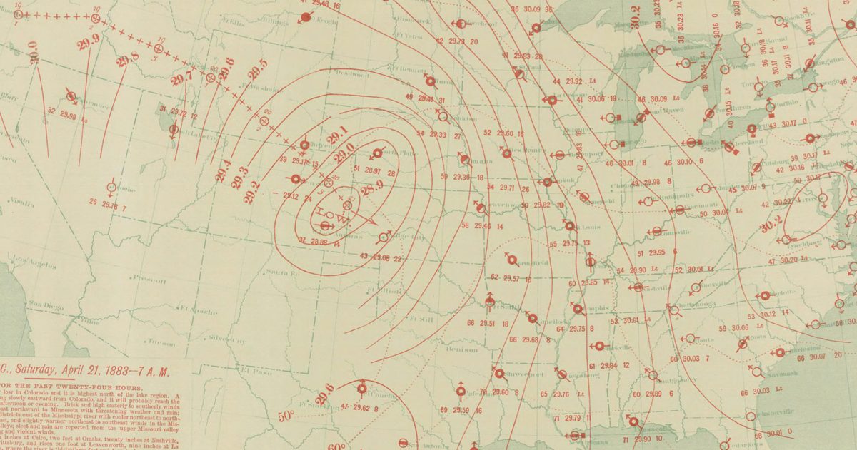
A 10-day forecast is right only about half the time. According to NOAA guidance, a five-day forecast predicts the weather accurately about 90% of the time, a seven-day forecast about 80%, and a 10-day (or longer) forecast only about 50%. Accuracy falls off because tiny errors in today's atmospheric measurements grow rapidly the further out a model runs.
Why does accuracy fall off a cliff after day seven?
The atmosphere is a chaotic system. Forecast models start with a snapshot of current conditions built from satellites, weather balloons, aircraft, and surface stations. That snapshot is never perfect: there are gaps over oceans and small-scale features no instrument catches. Those tiny gaps behave like a rounding error that compounds.
This is the famous "butterfly effect," first described by meteorologist Edward Lorenz: a minuscule difference in the starting state can produce a wildly different outcome a week or two later. Modern models are extraordinary at day one and day two. By day 10, the small uncertainties have amplified enough that the model is describing one plausible future among many.
Day by day: how reliable is each part of a 10-day forecast?
Reliability isn't a single number: it degrades steadily. Here's a practical way to think about each range, consistent with how the National Weather Service frames forecast skill.
| Forecast range | Typical reliability | Best used for |
|---|---|---|
| Days 1 to 2 | Very high | Firm plans: travel, outdoor events, timing rain to the hour |
| Days 3 to 5 | High (~90% at day 5) | Weekend planning, general temperature and precipitation trends |
| Days 6 to 7 | Good (~80% at day 7) | A reasonable heads-up; expect the details to shift |
| Days 8 to 10 | Low (~50% at day 10) | Broad pattern only: warmer/cooler, wetter/drier than normal |
Note the pattern: it's not that day 10 is useless, it's that day 10 tells you about the pattern (is a warm ridge or a cold trough likely?) rather than the details (will it rain Tuesday at 3 p.m.?).
What a 10-day forecast can, and can't, tell you
A long-range forecast is genuinely useful if you ask it the right questions. It's reasonably good at signaling whether a stretch will trend warmer or cooler than average, or whether an active, stormy pattern is setting up. It's poor at nailing a specific high temperature, an exact rain total, or the precise arrival time of a front nine days out.
Treat the far end of a 10-day forecast as a preview, not a promise. If day 9 shows rain for your outdoor wedding, don't panic, but do keep checking, because that day-9 signal will sharpen dramatically as it moves into the three-to-five-day window.
Why do two apps show different 10-day forecasts?
Because they may be leaning on different models. The main global forecast models, the American GFS (run by NOAA), the European ECMWF, and the German DWD ICON, all start from slightly different data and use different physics. At day two they usually agree closely. At day 10 they can diverge sharply, and each app makes its own choice about which model, or blend, to display.
That disagreement is actually the most honest signal you can get. When the models line up at day eight, confidence is high. When they scatter, the future is genuinely uncertain, and a single clean-looking forecast icon hides that. This is the core idea behind checkweather.io: rather than a black box, it lines up the GFS and ECMWF side by side and turns their agreement (or disagreement) into a plain-English confidence score, then grades each model against what actually happened on an accuracy scoreboard.
What is ensemble forecasting, and why does it matter?
Rather than run a model once, forecasters run it dozens of times, each with slightly nudged starting conditions. This is called an ensemble. If most of those runs agree on next Thursday's weather, confidence is high. If they scatter, the atmosphere is in a low-predictability state and any single forecast is fragile.
Ensembles are the professional's answer to the chaos problem, and they're the reason a good forecaster talks in probabilities rather than certainties. When you see a 10-day forecast, remember there's a spread of possible outcomes behind that single icon, and the width of that spread is really what "accuracy" comes down to at long range.
How to read a long-range forecast like a meteorologist
- Watch trends, not single runs. If successive daily forecasts keep showing rain for next Saturday, that's a real signal. If it flips every update, it's noise.
- Prioritize the near term. Anchor firm plans to the one-to-three-day window and treat everything beyond day seven as provisional.
- Look for model agreement. Consensus across GFS, ECMWF, and ICON means higher confidence than any one model alone.
- Respect probabilities. A "40% chance of rain" is a real, calibrated number: it does not mean the forecaster is unsure, it means rain is expected across about 40% of the area or with 40% likelihood.
The bottom line
A 10-day forecast is a useful pattern preview, not a schedule you can bank on. Use days one through five for real decisions, treat days six and seven as a solid heads-up, and read days eight through ten as a broad-brush trend. And when you want to know how much to trust it, look at whether the major models agree: that tells you more than any single forecast ever could. The forecast that flip-flops every day is telling you something true: the atmosphere hasn't made up its mind yet, and neither should you.
If accuracy matters to you, see which US forecast is most accurate.