First Frost Dates Across the US
First-frost timing sweeps from the northern Rockies in September to the Gulf Coast in late fall, and it's a probability, not a promise.
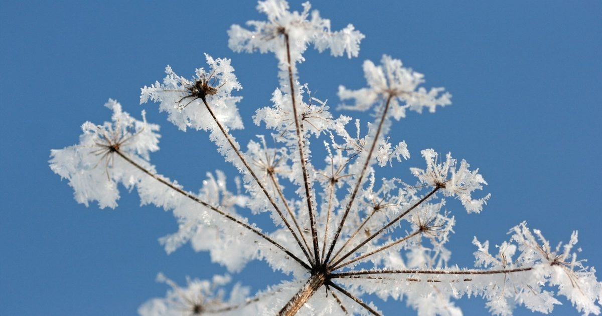
Across the US, the average first fall frost sweeps from north to south and from high elevations to low: the northern Rockies and northern Plains often see frost by mid-to-late September, the Midwest and Northeast around early-to-mid October, the mid-South into late October and November, and the Deep South and coastal areas not until late fall, if at all. These are averages, not guarantees.
What is a "first frost date"?
A first frost (or first freeze) date is the average date when a location typically records its first temperature at or below the freezing point of 32°F (0°C) in autumn. It is derived from decades of station records, so it is a probability, not a fixed calendar day. A common way to express it is the date by which there is a 50% chance frost has occurred, and gardeners often plan around the 90% or 10% dates for safety margins.
Frost can also occur when the official air temperature is a few degrees above freezing, because temperatures at plant level, near the ground, can be colder than the thermometer reading taken at standard height. Calm, clear nights favor this "radiational" cooling.
When does first frost typically arrive by region?
The pattern below reflects general climatological tendencies. Local timing varies widely with elevation, latitude and proximity to water, so treat these as broad guidance rather than exact dates:
| Region | Typical first-frost window |
|---|---|
| Northern Rockies, high elevations | September, sometimes earlier at altitude |
| Northern Plains, upper Midwest, northern New England | Mid-to-late September into early October |
| Midwest, Great Lakes, much of the Northeast | Early-to-mid October |
| Mid-Atlantic, Ohio Valley | Mid-to-late October |
| Mid-South, southern Plains | Late October into November |
| Deep South, Gulf Coast, low-elevation Southwest | Late November or later; some years no frost |
| South Florida, southernmost coasts | Frost is rare to nonexistent |
The West Coast is a patchwork: valleys inland cool earlier, while the marine influence keeps immediate coastlines frost-free far later.
What drives the local timing?
- Latitude: the further north, the earlier the frost.
- Elevation: higher ground cools faster and frosts sooner; mountain valleys can frost weeks before nearby lowlands.
- Proximity to water: large lakes and oceans moderate temperatures, delaying frost along shorelines.
- Local terrain: cold air drains into low spots and valleys ("frost pockets"), which frost earlier than surrounding slopes.
- Urban heat: cities stay warmer than nearby rural areas, pushing frost later downtown.
Why do clear, calm nights bring frost?
Frost is largely a story of radiational cooling. On clear, calm nights, the ground radiates its heat away to space with no cloud blanket to trap it and no wind to mix in warmer air from above. Surface temperatures can then fall several degrees below the reading on a standard thermometer, which sits a few feet off the ground. That is why you can wake to frost on the grass and car roofs even when the official low held slightly above freezing, and why sheltered, low-lying gardens frost first.
Frost, freeze and the NWS alerts
The National Weather Service issues cold-season products during the growing season:
- Frost Advisory: widespread frost is expected that could damage sensitive vegetation.
- Freeze Watch / Freeze Warning: freezing temperatures are possible or expected that could kill crops and other sensitive plants.
These are typically issued only during the local growing season, before the first freeze and after the last, since once a region is reliably below freezing the alerts stop.
How to protect plants around the first frost
When frost threatens near your average date, a few simple steps help sensitive plants: water the soil in the afternoon (moist ground holds heat better than dry), cover tender plants with cloth or a sheet before nightfall and remove it in the morning, and move containers to a sheltered spot or indoors. Harvest tender vegetables ahead of a hard freeze. A single early frost rarely ends the season, so knowing whether one cold night is coming can save a garden.
Where can you find your local date?
For station-specific averages, use official climate data rather than a one-size-fits-all chart. NOAA's National Centers for Environmental Information publishes freeze/frost probability data, and the USDA Plant Hardiness Zone map and almanac tables offer regional guidance. Because these are long-term averages, any given year can arrive weeks early or late. When a cold snap threatens, the details, exactly how low temperatures dip and whether skies stay clear, decide whether frost forms. On checkweather.io you can compare the GFS and ECMWF models on overnight lows and see a forecast-confidence score, so you know whether that first frost is a sure thing or still up in the air. No black boxes.
Rather than trust a single forecast, see which US forecast is most accurate.